Local Trail
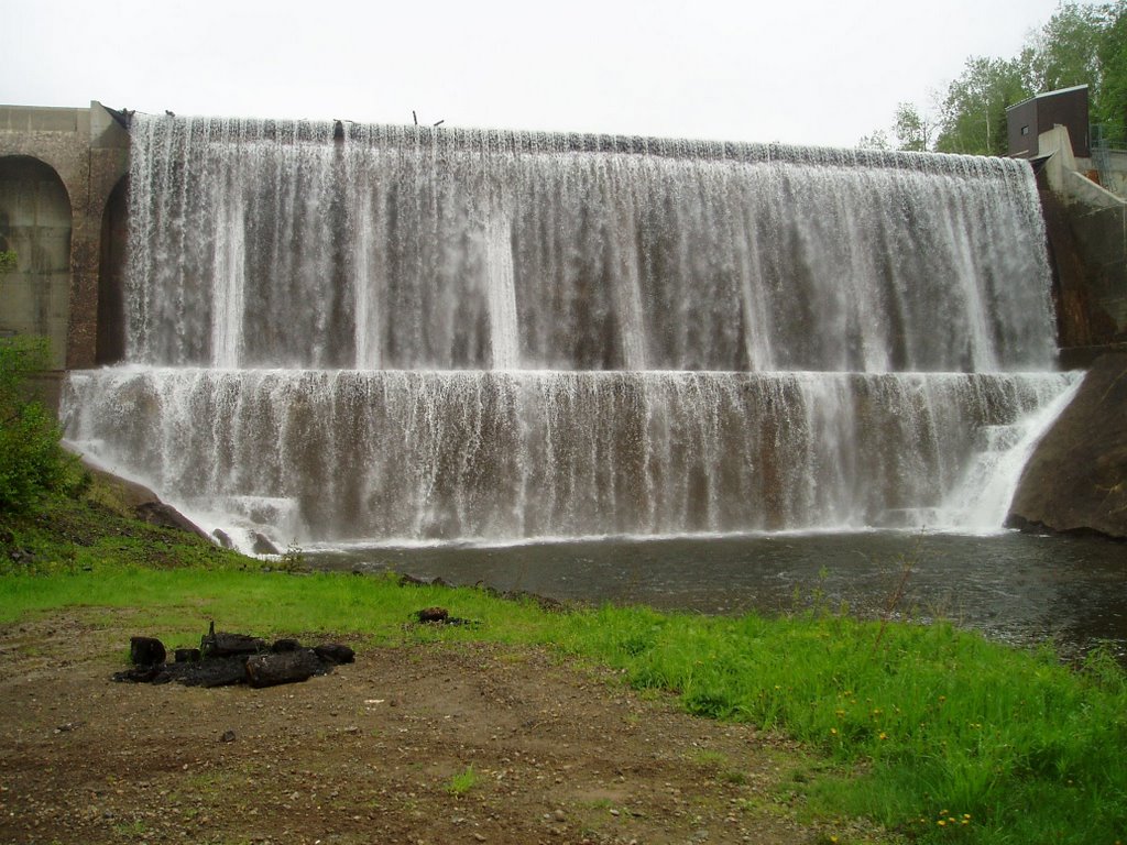
Charlo Dam
Located only 1.5 kms off Trail #10 (Border Quad Trail), the Charlo Dam is an historical landmark located in Charlo South and was built to create the Charlo River Reservoir. The reservoir provides the drinking water for the people of Dalhousie and the surrounding area. In 2016, the dam was acquired by the province of NB as part of a 10 year water supply and service agreement with Dalhousie. In 2018, the dam underwent a $3 million infrastructure improvement to restore and repair the bottom area of the dam to ensure its future stability. During the winter months, the dam is a popular spot for locals to observe the amazing ice buildup on the dam wall.
Charlo Dam Location: Lat: 47.96623, Lon: -66.34487
Local Trail
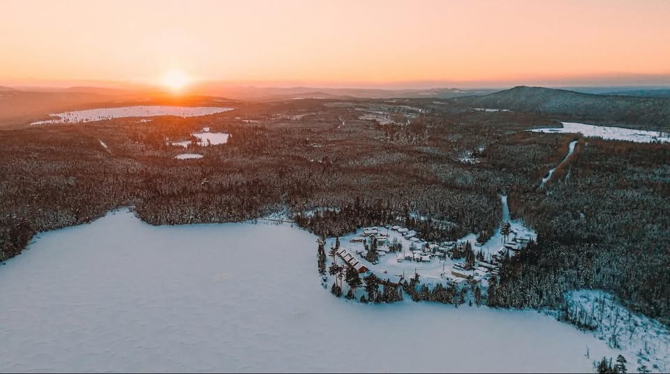
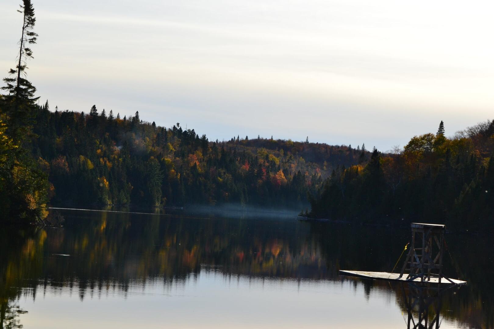
Island Lake Club
Located 60 kms off Trail #10 (Border Quad Trail), the Island Lake Club is situated on the shores of Island Lake - a very popular local year-round attraction.
The Club offers a restaurant and bar, cabin rentals, boat rentals, WIFI in the main lodge and hiking trails around the lake.
The local trail to the club follows snowmobile Trail #22 which is partially through the woods (12 kms), with the remainder using mostly gravel roads so it can be dusty on a dry day. Proper hand signal etiquette should be used at all times, especially on the public roads needed to reach this attraction.
Location of the Club: Lat: 47.62469 Lon: -66.40582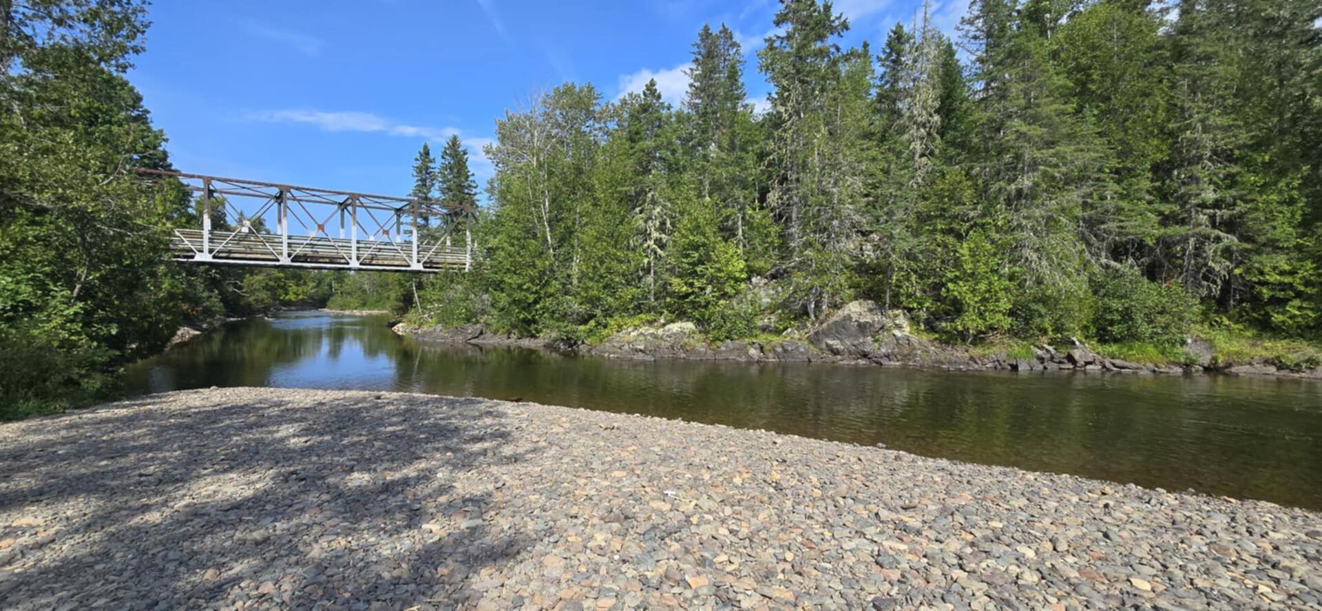
Levesque Bridge
Located on Trail #10 (Border Quad Trail), the Levesque Bridge is a popular crossing over the Charlo River near the Charlo Dam. The location also offers a beautiful gravel area on the banks of the river, just below the bridge, to stop and have a rest or even a BBQ lunch.
Bridge Location: Lat: 47.97287 Lon: -66.33016
Hicks Lake Rest Area
Formerly known as Robertson Lake, Hicks Lake is a popular stop for locals looking for a nice location to rest and perhaps, even have a swim in the crystal-clear waters. The location is only 3 kms off Trail #10 (Border Quad Trail) following managed Trail #401.
Lake Location: Lat: 47.0197 Lon: -66.51918